
Estimating river discharge from drone imagery
- Campus: Casa Central campus
- Posted on
Reducing 2D data to 1D with the Saint-Venant equations to estimate discharge from drone imagery
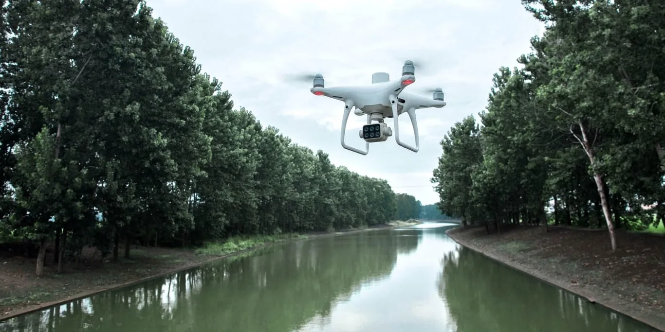
This master's thesis tackles how to turn the two-dimensional (2D) data that drones capture, such as surface velocities and river centerline slopes, into one-dimensional (1D) data compatible with traditional hydraulic models. Starting from a 1D prototype that already estimates discharge, you will extend the approach to 2D to represent the real complexity of river flow, using the Saint-Venant equations that describe open-channel flow. To validate the transition you will use results from 2D numerical simulations (for example, HEC-RAS or similar models) or, ideally, real drone data. The core of the work is developing algorithms to average, integrate and simplify spatial variables (velocity, depth and slope).
The method can be applied to Chilean rivers affected by droughts or floods, to improve real-time forecasts and decisions with accessible tools such as drones.
Objectives
- Analyze and derive mathematical methods to reduce 2D data (from drone imagery) to 1D representations based on the Saint-Venant equations.
- Implement numerical algorithms to process surface velocities and slopes with real drone data.
- Validate the model by comparing 2D and 1D results in simulated and real scenarios, assessing accuracy and computational efficiency.
- Propose extensions for practical applications, such as environmental monitoring or water resources management in a context of climate change.